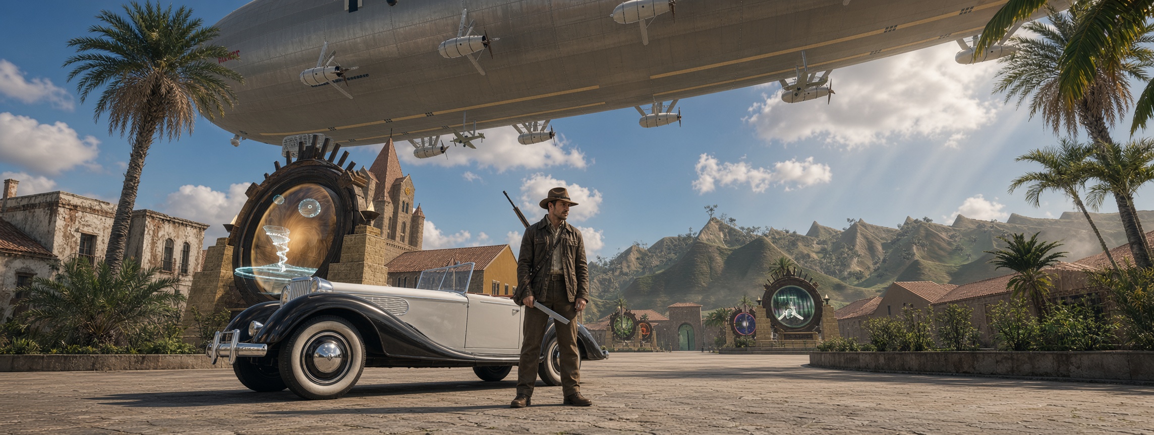
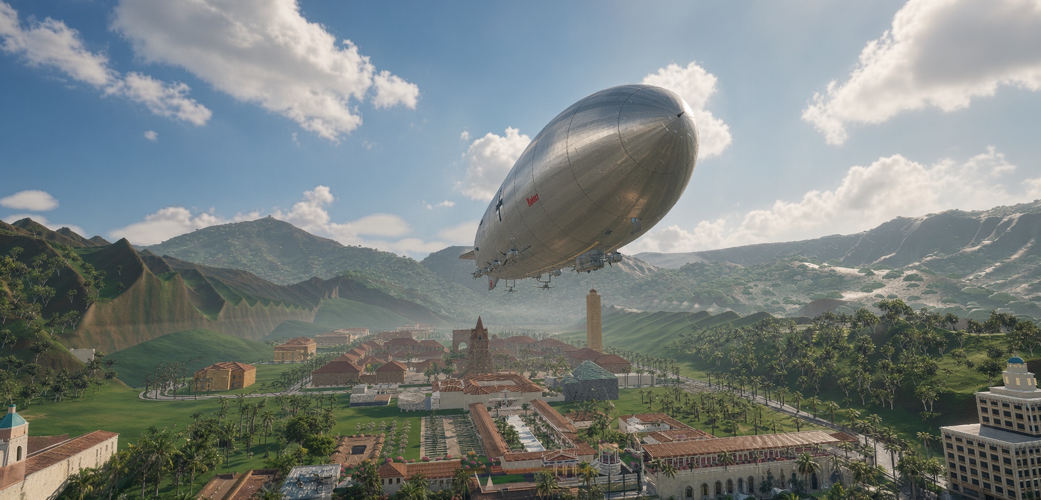
Inside RUIN Gaming’s original adventure project: historical reconstruction, the Obsidian Abyss, the ANKH virtual studio, and the community support system helping bring the expedition to life. Somewhere beneath the volcanic landscape of Kauaʻi lies a secret that was never meant to be discovered.
In December 1941, an expedition begins investigating a mystery buried beneath the island. Its journey leads through a reconstructed Hawaiian landscape of plantations, airfields, coastal roads and remote valleys, before descending into an underground complex known as the Obsidian Abyss. Relic Hunter is RUIN Gaming’s original adventure project. Relic Horizon is the production programme behind it: a combination of historical reconstruction, expedition gameplay, environmental simulation and an experimental AI-assisted virtual studio. Executive SummaryRUIN Gaming is developing an original adventure project set on Kauaʻi in 1941. Known within the development programme as Relic Horizon, with Relic Hunter as its adventure identity, the project combines historical reconstruction, exploration, infiltration, environmental puzzles, period vehicles, military installations, and an unfolding alternate-history mystery.
The central adventure leads toward The Obsidian Abyss, a fictional subterranean complex built into the island’s landscape. Players will investigate, navigate dangerous terrain, evade patrols, operate equipment, uncover evidence, and solve interconnected environmental puzzles. The ambition is not to create another generic tropical adventure. It is to build a world that feels geographically convincing, historically considered, and worth exploring. The project also serves as a proving ground for RUIN ANKH, our developing agentic production system. ANKH is intended to coordinate research, worldbuilding, 3D modeling, programming, testing, and quality review through a virtual game studio. Its purpose is to help a human-led team build and validate an actual game, not simply generate attractive images or code. There is substantial engineering work already documented. The latest dated Relic Horizon Alpha 3.14 report (October 14, 2026) records eight of ten patch goals built and tested in headless checks. Those include road and collision improvements, traffic distribution, period-specific assets, a geographic atlas, and Hawaiian place-name validation. One rendering-performance gate was still running, and a proposed tunnel feature was waiting for a suitable location and historical evidence. This remains an active development project, not a finished commercial game. The next challenge is to turn the growing collection of world systems, assets, and prototypes into a coherent, repeatable, and genuinely playable adventure. The community can help make that possible. RUIN’s Patreon support system helps maintain the infrastructure, AI tools, studio work, and events behind the organization. Technical contributors, historians, artists, testers, and players can also help without purchasing a subscription. Development notes, demonstrations, and briefings remain available to the wider community. 1. A Different Kind of Adventure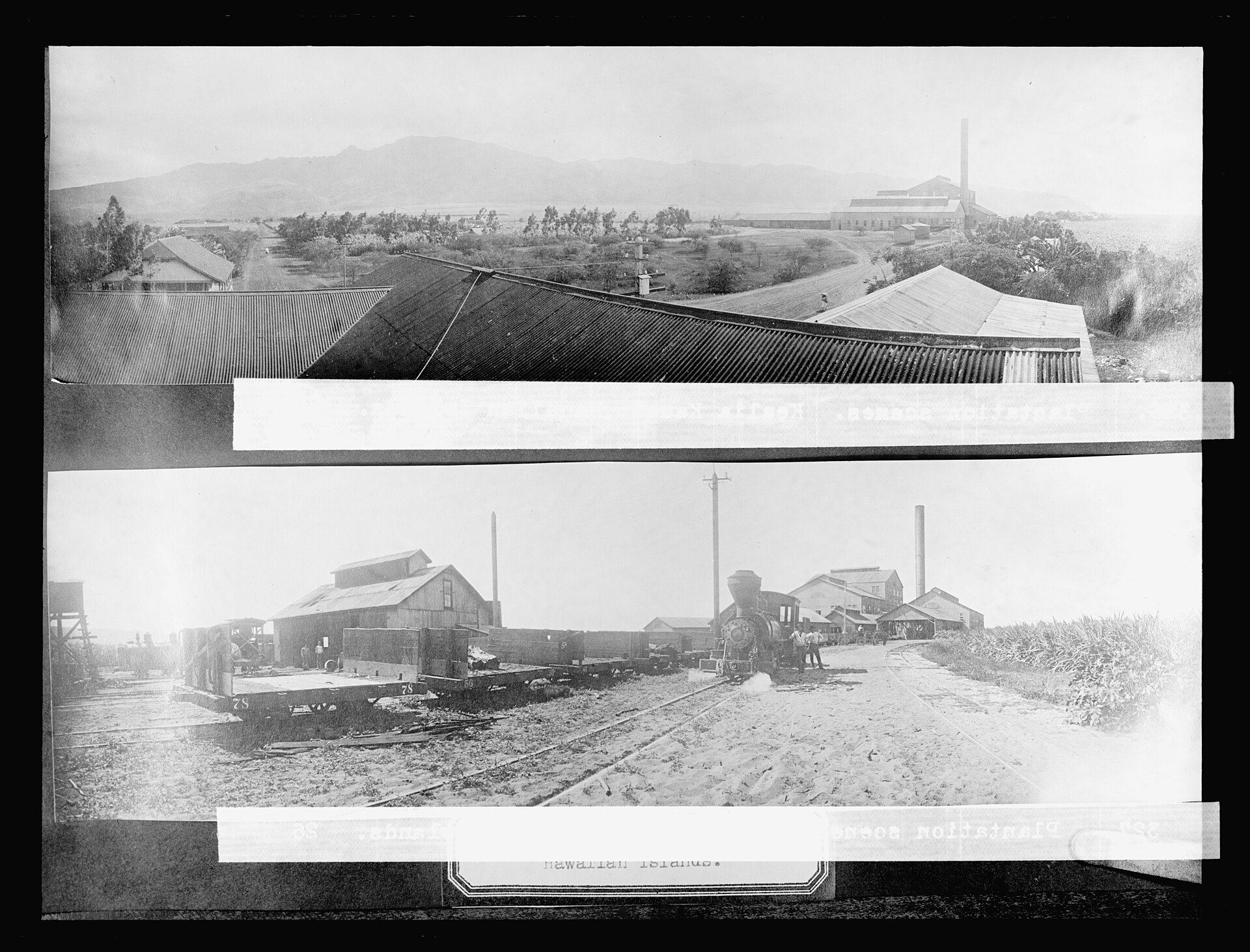 The premise begins with a specific place and a specific moment. The working historical baseline is December 1, 1941. Kauaʻi is not simply a backdrop for a fictional treasure hunt. Its coastlines, mountains, valleys, rivers, roads, plantations, settlements, and military infrastructure are the foundation upon which the adventure is constructed. The choice of date matters. The island’s military and civilian landscape was changing rapidly in the months before the United States entered the Second World War. Consider Mānā Airport at Barking Sands. The State of Hawaiʻi aviation history records the Army’s acquisition of approximately 549 acres in 1940, followed by a further transfer of land in June 1941. The military installation was therefore part of the real pre-war landscape. At the same time, the historical record distinguishes the relatively limited facilities of the period from the much larger wartime construction that followed. That distinction is exactly what Relic Horizon is designed to preserve. A road, airfield, bridge, vehicle, or building should not appear in the world simply because it looks appropriate. The team must establish whether it existed, when it existed, and how confidently it can be reconstructed. The result is a development process that treats historical research as part of worldbuilding rather than a final decorative pass. Three Layers of World Truth
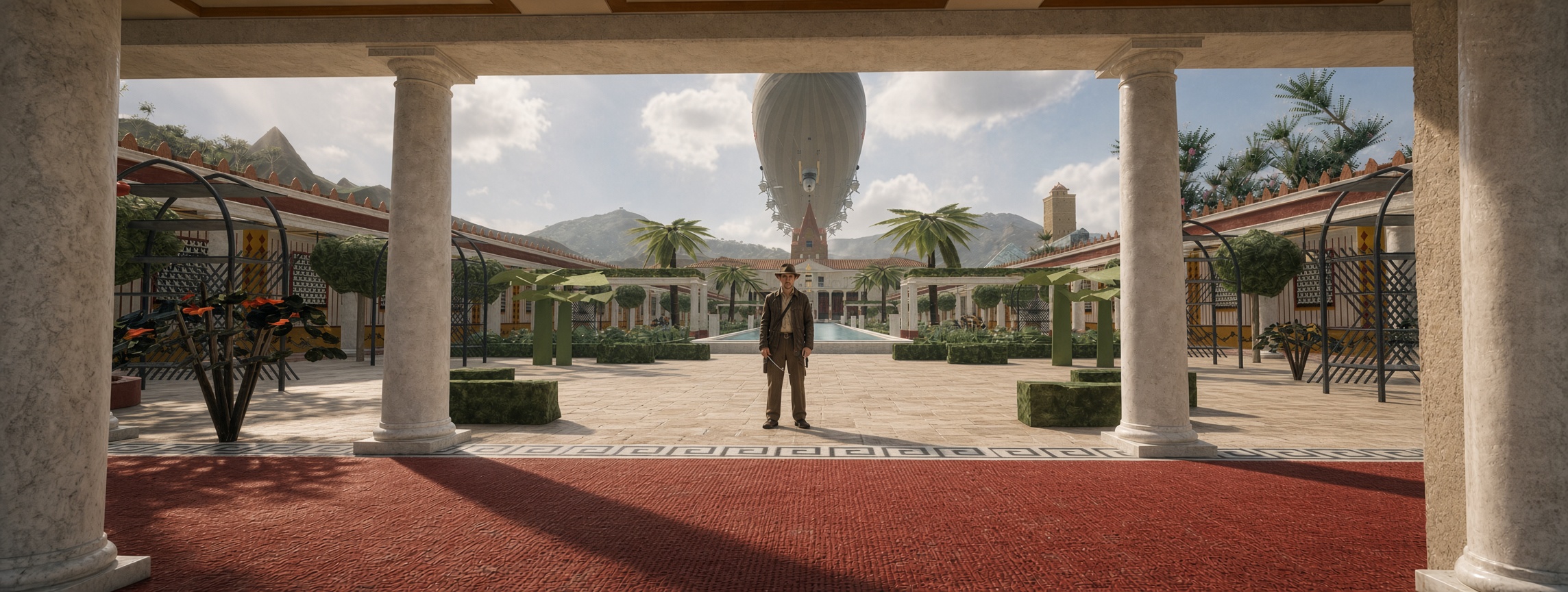
The distinction also protects the creative freedom of the game. The fictional story can be extraordinary precisely because the world beneath it has a credible foundation. Creative sandbox notice: The Academy, Villa, harbour, and associated campus environment are treated as a designated creative sandbox. They can be altered to serve the experience without being misrepresented as historically accurate reconstructions of real 1941 locations. 2. The Island Is a System, Not a BackdropA convincing historical world requires more than a terrain mesh and a collection of buildings. Relic Horizon’s geographic workflow is designed to connect research data to the actual game environment. The reference pipeline includes:
This matters because a reconstructed island must behave like a place. A road needs to connect to something. A bridge needs to cross the correct terrain. A settlement needs to relate to its surrounding infrastructure. Vehicles need routes. Pedestrians and patrols need navigable space. Environmental systems need to respect elevation, drainage, and land use. Development Order Priority
The aim is to build a foundation that can support gameplay rather than an impressive collection of disconnected scenery. The World Atlas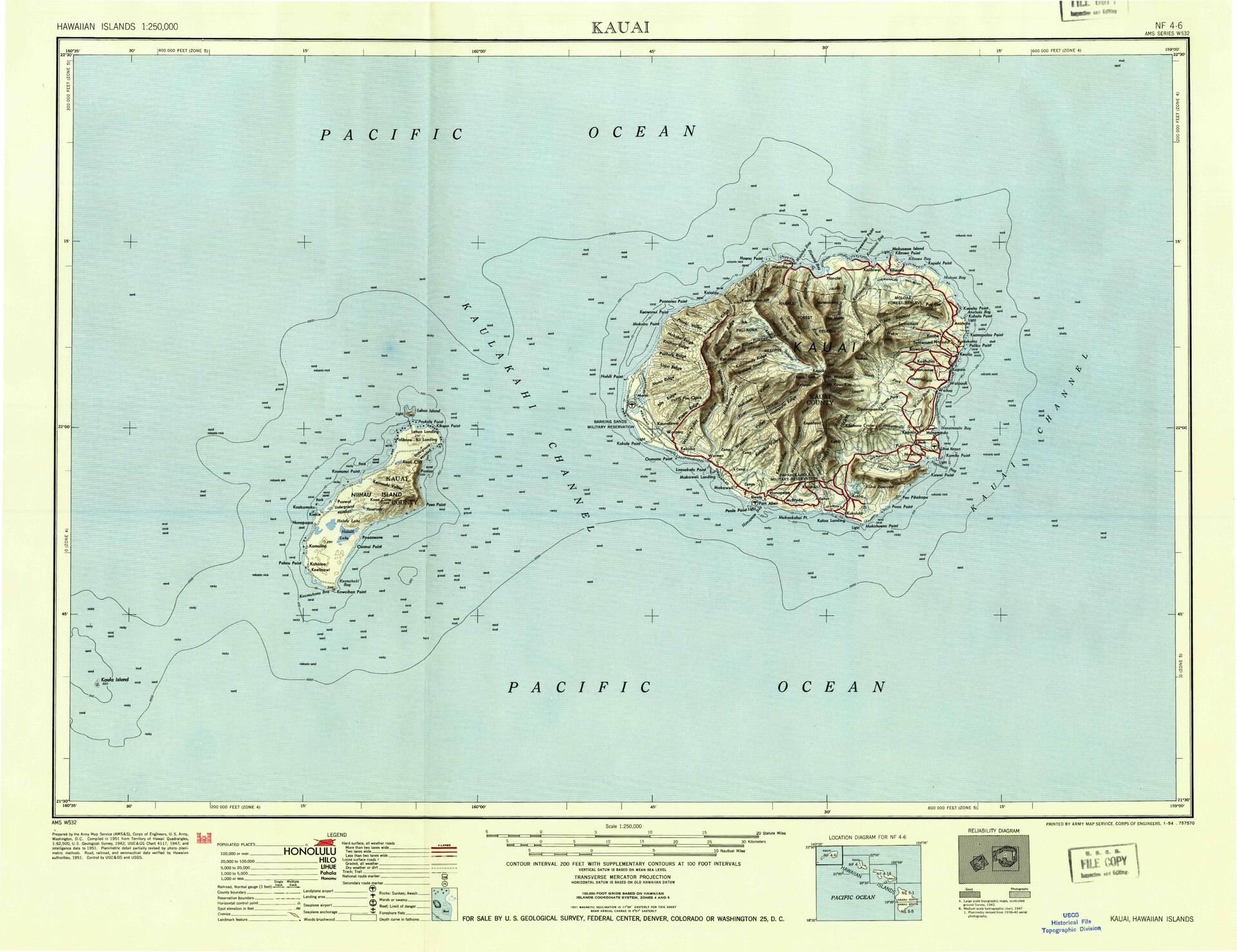 One of the more important documented milestones is the Kauaʻi World Atlas. The Alpha 3.14 report records 56 features in its atlas ledger:
These classifications matter. A verified bridge, an inferred historical feature, and a fictional expedition installation are not interchangeable pieces of information. The field atlas is intended to give the player a practical way to navigate the world, while the underlying development ledger gives the studio a way to understand where the information came from. Historical accuracy is an ongoing process. As new evidence becomes available, the project should be able to update the world without losing the reasoning behind previous decisions. 3. A Living 1941 Environment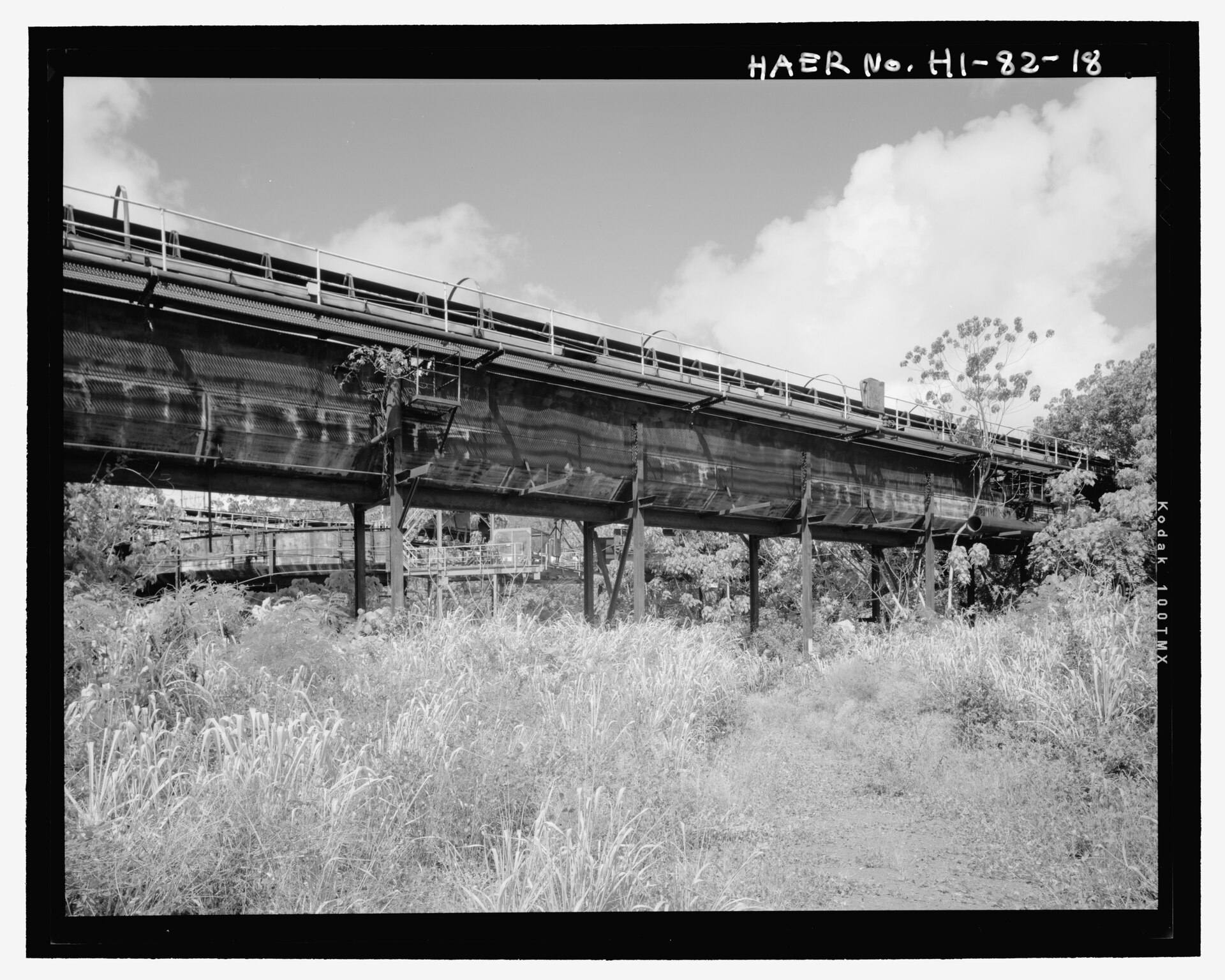 The ambition extends beyond geography. The island is intended to feel inhabited, with infrastructure and environmental systems working together. Roads and TransportationRoads are being treated as connected networks with collision, surface geometry, bridges, and traffic routes. The Alpha 3.14 report records key engineering improvements:
The boulevard report records 1,446 paving slabs, 72 lights, 154 palms, 20 hydrants, 110 drains, and 30 covers. Repeated objects were instanced to reduce rendering overhead. Traffic and Local Activity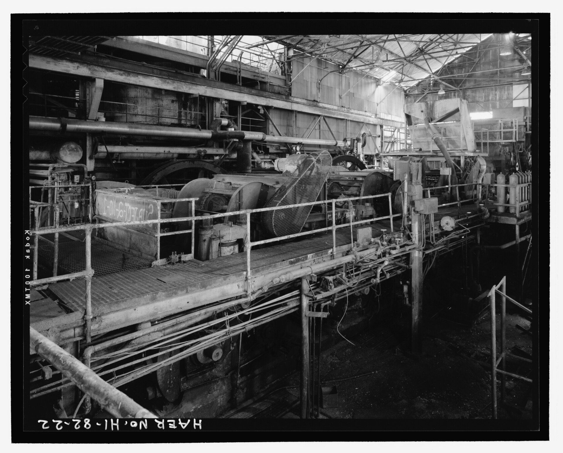 The project also records a traffic distribution system that varies by zone. The engineering report describes plantation areas with a predominance of cane trucks (a simulation parameter set at 84%), towns with more sedans and taxis, and the Academy with vehicles such as Packards and Cadillacs. These percentages are simulation parameters describing the project’s simulated traffic distribution, not historical statistics or a verified census. The point is to make the environment respond to its setting rather than populate the entire island with an arbitrary selection of vehicles. Period Equipment and AircraftThe asset pipeline is producing historically informed objects and vehicles:
4. The Adventure: The Obsidian AbyssStatus: planned. The Alpha 3.14 report does not include Obsidian Abyss gameplay. The environments and sequence below describe planned design, not demonstrated functionality. The historical island provides the foundation. The Obsidian Abyss provides the mystery. This major subterranean adventure sequence is designed around an expedition into a fictional underground complex, with the surrounding world providing geographic and historical context. The intended experience combines:
Planned Expedition Environments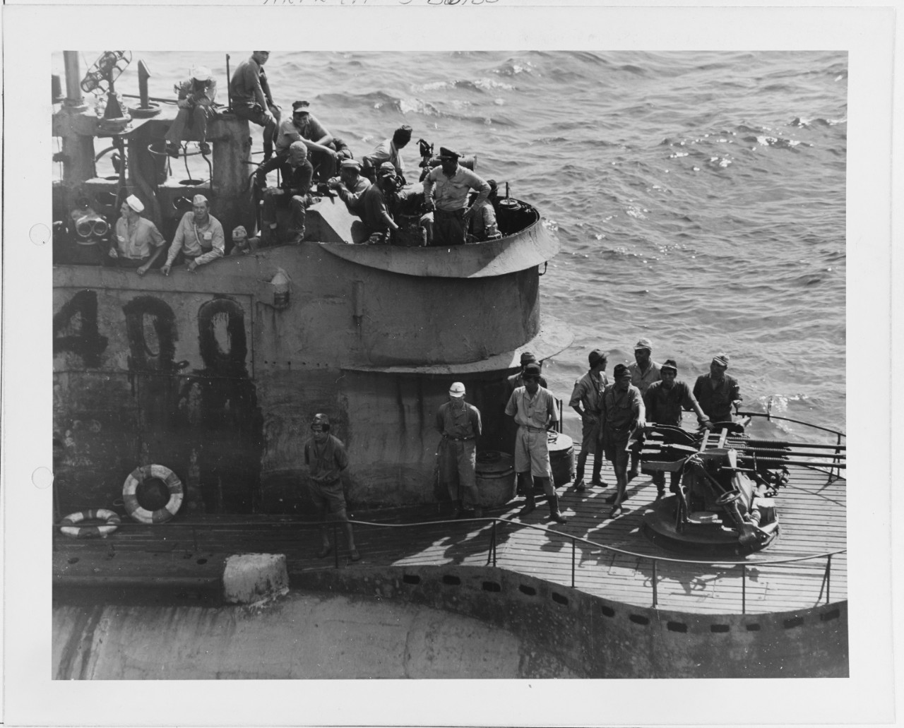 The expedition passes through four planned environments. The I-400 Pen is a fictional, alternate-history element: the real Japanese I-400 submarine dates to 1944 according to the Naval History and Heritage Command, so no such installation existed on Kauaʻi in 1941.
The Vertical Slice Sequence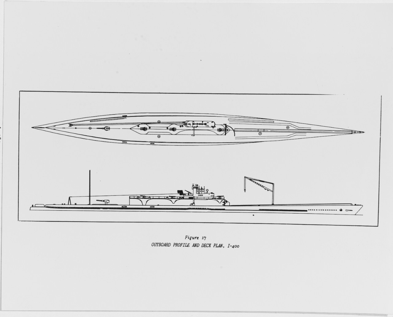
The development principle is straightforward: complete one coherent, testable expedition before expanding the island with more disconnected features. 5. The World Must Behave as Well as It LooksProcedural EcologyVegetation is placed according to environmental conditions (elevation, moisture, soil, exposure) using deterministic drivers. Instancing and an LOD0–3 pipeline manage geometry rendering to maintain smooth performance in browser contexts. Visual Presentation vs. Gameplay Truth
Changing visual presentation must never silently alter gameplay truth—an optimization cannot obscure clues, alter collisions, or break AI patrol paths. Performance and Engine StrategyThe current browser prototype runs on Three.js (r128). Frame-time percentiles, draw calls, GPU uploads, and loading stalls are evaluated continually. While Unreal Engine 5 remains a production candidate for high-fidelity deployment, the browser prototype remains the active demonstrator for rapid, shareable iteration. 6. What Is Built, What Is Being Tested, and What Comes NextAccording to the Relic Horizon Alpha 3.14 report (October 14, 2026):
Note: Headless test execution proves structural code completion, but visual and complete gameplay acceptance remains ongoing. 7. ANKH: The Virtual Studio Behind the ExpeditionRUIN ANKH operates as an agentic production system driving a Virtual Agent Game Studio:
Working vs. proposed: The Alpha 3.14 studio plan documents twenty-eight roles running as seven working skills, with the work orders and test evidence cited in this article. Elements described above that are not covered by that report should be read as proposed architecture. Human leads maintain ultimate authority over production releases, public commitments, and budget allocations. 8. The Guild Hall: A Free Home for the CommunityThe RUIN Guild Hall is a persistent browser-based headquarters for the community—a virtual campus to assemble, view operational portals, join events, and track projects. The Guild Hall will always be free to access. Community participation and organizational rank are earned through contribution and merit, never sold or locked behind paywalls. 9. How to Support the ExpeditionBecome a RUIN SupporterRUIN’s Patreon framework (updated October 24, 2026) offers five voluntary monthly support levels:
All supporter perks are cosmetic recognition. Organizational rank cannot be purchased. Patreon support funds shared studio infrastructure and servers. It does not sell officer rank, competitive advantages, or exclusive access. Supporting the expedition helps maintain the tools, computing infrastructure, research resources and development services used to build Relic Horizon. Community members can also contribute directly through research, testing, programming, historical documentation, artwork and other practical skills. Support is voluntary. The Guild Hall remains free to enter, and no financial contribution purchases organizational rank, gameplay superiority or authority over the project.
Community Channels
10. What Support Actually Makes PossibleVoluntary support sustains concrete production requirements:
11. The Road AheadDevelopment follows an incremental roadmap:
One Community. One Expedition. A World Worth Exploring.RUIN Gaming | PvP is our business. |